Book a Consultation
Find out why so many clients appreciate the amount of work we put into their case.
"*" indicates required fields
Call 24/7
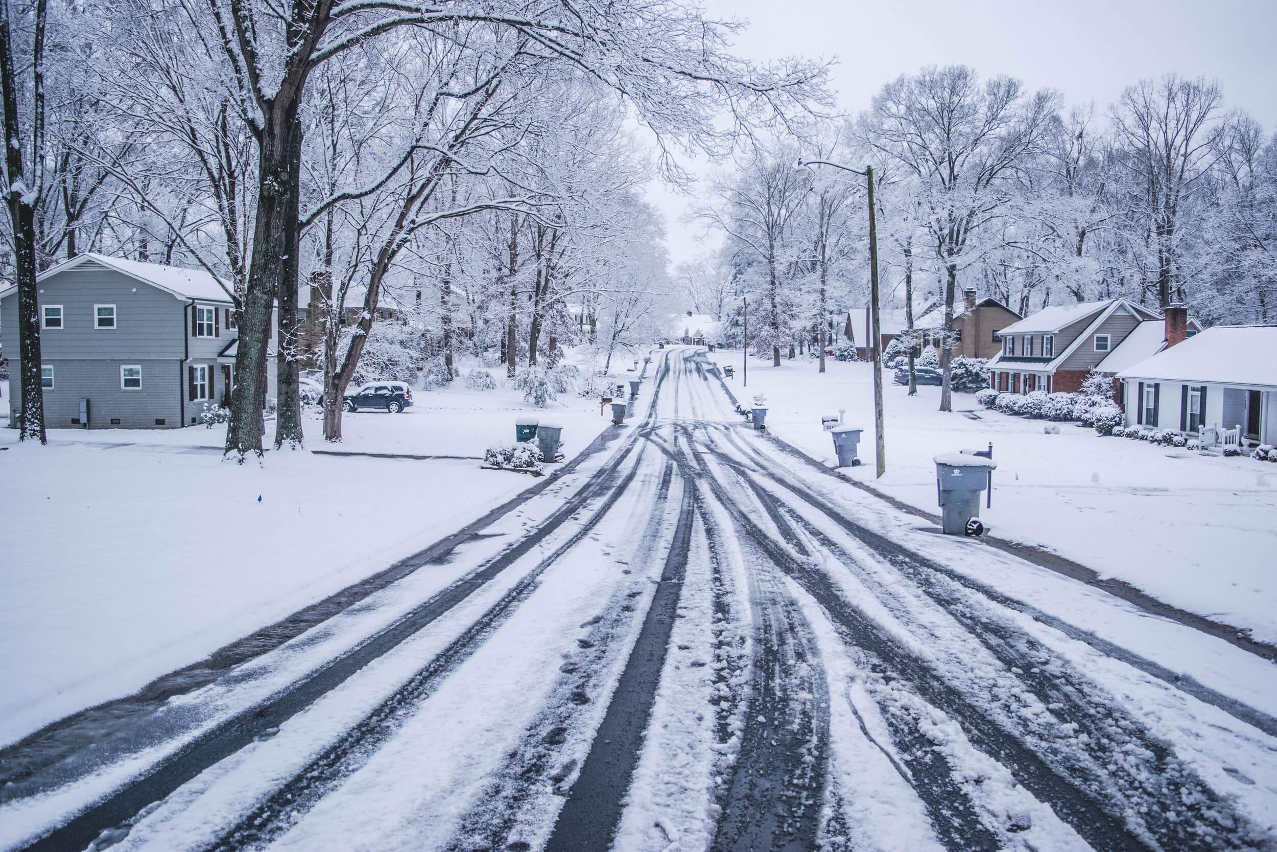
The National Weather Service on Tuesday issued a series of winter storm watches that cover several parts of Utah ahead of a system that could bring up to 2 feet of snow in some of the state’s mountains by the end of the workweek.
A few inches of snow are also expected across valleys in the state, something that hasn’t happened since late March.
The storm, which follows a weaker storm system that passed through Monday, is currently “taking shape” in the Pacific Northwest, according to KSL meteorologist Kevin Eubank.
Eubank said some parts of northern Utah may receive showers Wednesday but the brunt of the storm is expected to arrive Thursday as a low-pressure system will push the storm from the west toward most of Utah.
“There’s plenty of moisture and cold air for snow for most of the day Thursday across the entire state,” he added. “On Friday, cold air coming over the (Great Salt Lake) is going to keep lake-enhanced snow bands going across the mountains of northern Utah and the valley. By Friday night, it all shuts off.”
The first of the weather service alerts goes into effect Wednesday afternoon. It covers parts of northern Utah and southwest Wyoming, including Logan Summit, Mantua and Evanston, Wyoming.
The weather service notes that 2 to 5 inches of snow are forecast for valleys and 6 to 12 inches of snow are forecast for the mountains in the area between Wednesday afternoon and Thursday afternoon. Wind gusts up to 35 mph are also forecast with the storm.
The second watch, issued for the Wasatch Mountains, Wasatch backcountry and parts of central and eastern Utah, goes into effect Wednesday evening and remains in place through Friday afternoon, where more snow is forecast.
The storm is anticipated to impact travel, as well. The weather service said drivers should expect winter driving conditions on I-15, I-70, I-80 and on all roadways in higher elevation, such as Parleys Canyon and the Cottonwood canyons.
But slick roadways will be everywhere.
“You’re going to get your first test of winter driving in the valleys Thursday morning and Thursday night in the evening commute,” Eubank said.
The Utah Department of Public Safety has a list of winter driving safety tips that can be found here.
Temperatures are also expected to plummet as a result of the storm. High temperatures are expected to top out in 40s in St. George and in the low-to-mid 30s across the Wasatch Front between Thursday and Saturday.
Those temperatures are expected to warm up heading into next week, when another storm providing rain and snow is currently forecast to arrive in Utah.
Full seven-day forecasts for areas across Utah can be found at the KSL Weather Center.
If you or a loved one is injured in a car accident, because of someone else, call Valley Law immediately. Our Utah car crash lawyer team will make sure all your medical costs are handled, and that your are taken care of. We help you every step of the way. Let us help with the stress that comes with being in an accident, so you can focus on what’s most important, your health, and your family. Call Valley Law Utah today, schedule a FREE case evaluation, 801 810-9999.
Get in touch

Find out why so many clients appreciate the amount of work we put into their case.
"*" indicates required fields


2021 and 2022 Gold Winner for Top Law Firm by Salt City Best
Call 24/7 801-810-9999